
Fulton County ZIP Coverage
Fulton County ZIP codes run from Alpharetta and Roswell through central Atlanta to Union City, Fairburn, Palmetto, and the airport edge. This Fulton County ZIP code directory groups the principal general-delivery areas and the special postal codes most useful to a search. Postal labels describe mail service, not municipal boundaries. Verify a specific address with USPS and the county parcel map.
| ZIP | Fulton areas | Postal city | Boundary note |
|---|---|---|---|
| 30004, 30009 | Milton; central and west Alpharetta | Alpharetta | 30004 extends beyond Fulton |
| 30005, 30022 | East Alpharetta and Johns Creek edge | Alpharetta | Postal Alpharetta can mean Johns Creek |
| 30023, 30077 | Alpharetta and Roswell boxes | Alpharetta or Roswell | PO-box codes |
| 30024, 30097 | Johns Creek edges | Suwanee or Duluth | Postal city differs from municipality |
| 30075, 30076 | Roswell | Roswell | 30075 reaches toward Cobb |
| 30303, 30308, 30309, 30313 | Downtown and Midtown | Atlanta | Central Fulton |
| 30305, 30326, 30327 | Buckhead and Lenox areas | Atlanta | 30327 borders Cobb |
| 30306, 30307, 30316, 30324 | East and northeast Atlanta | Atlanta | DeKalb context needs a county check |
| 30310, 30311, 30314, 30315 | West, southwest, and southeast Atlanta | Atlanta | Keep street direction in searches |
| 30318, 30331, 30336 | Northwest Atlanta, South Fulton, Fulton Industrial | Atlanta | 30331 spans two cities |
| 30328, 30342, 30350 | Sandy Springs and north Atlanta | Atlanta | Atlanta label can mask Sandy Springs |
| 30332, 30334 | Georgia Tech and state government | Atlanta | Unique institutional codes |
| 30337, 30344, 30349, 30354 | College Park, East Point, South Fulton, Hapeville | Atlanta or College Park | Airport and Clayton lines matter |
| 30213, 30268, 30272, 30291 | Fairburn, Palmetto, Red Oak, Union City | Named south Fulton places | Edge codes may cross county lines |
Other Fulton contexts include 30339 near the Vinings and Cobb edge, 30363 at Atlantic Station, and 30296 or 30297 along the Clayton boundary. Unique 30332 and 30334 should not be treated like broad residential polygons.
Query Fulton ZIP Geography
The Fulton GIS ZIP layer can be compared with parcels, subdivisions, districts, and city limits. Its fields are ZipCode, Preferred City, AltCity1, and AltCity2. Those alternate-city fields document a core Fulton County issue: one postal polygon may have several known city labels while public records remain with a specific government.
| Field or control | Use in a ZIP search |
|---|---|
| ZipCode | Returns the five-digit polygon value. |
| Preferred City | Shows the main postal place. |
| AltCity1 and AltCity2 | Show other city labels tied to the area. |
| Spatial query | Finds features that intersect the chosen geography. |
| Parcel layers | Connect the postal polygon to land and jurisdiction. |
The official Fulton GIS ZIP service exposes the layer fields and query support.
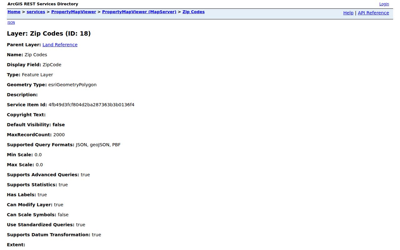
The service confirms that Fulton maps preferred and alternate postal cities instead of assuming one city label equals one jurisdiction.
North Fulton ZIP Name Mismatches
Milton commonly uses Alpharetta in 30004. Johns Creek addresses may carry Alpharetta in 30022, Suwanee in 30024, or Duluth in 30097. Sandy Springs often retains Atlanta in 30328, 30342, and 30350. Roswell's 30075 reaches toward Cobb. These labels work for mail, but they cannot select a records custodian.
Search the full address in the Fulton Property Map Viewer. If the parcel lies outside Fulton, switch counties. Historical north-Fulton work before the 1932 merger may also sit under former Milton County catalog terms.
Atlanta ZIPs Cross County Context
An Atlanta postal name is broader than the incorporated city. ZIPs 30306, 30307, 30316, and 30324 sit near or across the Fulton-DeKalb context. A mailing address can say Atlanta while the deed, assessment, permit, court, and open-records path belongs elsewhere.
Within Fulton, the Atlanta label can describe Sandy Springs, East Point, College Park, Hapeville, City of South Fulton, or a legacy unincorporated area. A parcel's situs address and legal description are better joins than the postal city.
Boundary check. USPS controls delivery format, while Fulton GIS and municipal maps identify the offices that keep local records.
South Fulton Airport ZIP Traps
The airport area compresses several boundaries. ZIP 30337 serves College Park, 30344 carries Atlanta for East Point, 30349 spans College Park and South Fulton toward Clayton, and 30354 covers Hapeville and southeast Atlanta near Clayton. Farther south, Fairburn, Palmetto, Red Oak, and Union City use 302-series codes whose edges also need a county check.
Street direction and unit data are essential. Atlanta's NE, NW, SE, and SW suffixes are part of an address, and repeated Peachtree names make a partial street string unsafe. For a condo, include the unit, parcel ID, and legal description.
Find Fulton Residents Within a ZIP
No official tool publishes a complete household list for a ZIP. A lawful Fulton County ZIP code directory search combines USPS, county GIS, parcel cards, and permitted voter-file fields. The assessor was not verified as offering a reliable ZIP-wide filter, so use GIS to define the polygon rather than claiming such a control exists.
- Enter the full address in the USPS ZIP Code Lookup. Save the standardized street, city, ZIP, and unit.
- Compare the Fulton ZIP polygon with parcel and jurisdiction layers, then copy the parcel ID.
- Review the assessor card for owner, situs, mailing address, and deed reference. Ownership does not prove occupancy.
- For lawful civic or personal work, use a properly ordered Georgia voter file and filter Residence Zipcode, not Mailing Zipcode.
- Once the area is down to a street, use the Fulton street directory for parcel-by-parcel work.
The published voter-file columns include residence and mailing ZIPs, street parts, status, birth year, precinct, and districts. The file excludes full birth dates, Social Security numbers, driver-license numbers, phones, and ballot choices. VoteSafe can shield a protected residence.
Special Fulton ZIP Code Types
Not every code represents a normal delivery neighborhood. Alpharetta's 30023 and Roswell's 30077 are PO-box codes. Georgia Tech uses unique 30332, while state government uses unique or agency-oriented 30334. Such codes can appear in mailing records without defining a broad resident-search area.
Atlanta also has 244 recognized neighborhoods in 25 Neighborhood Planning Units, and there is no NPU U. Neighborhood, NPU, ZIP, and tax parcel boundaries answer different questions. A civic map adds context, but the parcel remains the key to ownership and jurisdiction.
Request ZIP-Keyed Fulton Records
When a county dataset is not on a portal, the Fulton open-records portal accepts requests for existing nonexempt records. Name the department, existing dataset, ZIP or geography field, and date range. Georgia law generally calls for production or a written timetable within three business days, but an agency need not create a custom list it does not keep.
The Georgia Open Government FAQ explains timing, exemptions, and cost rules.
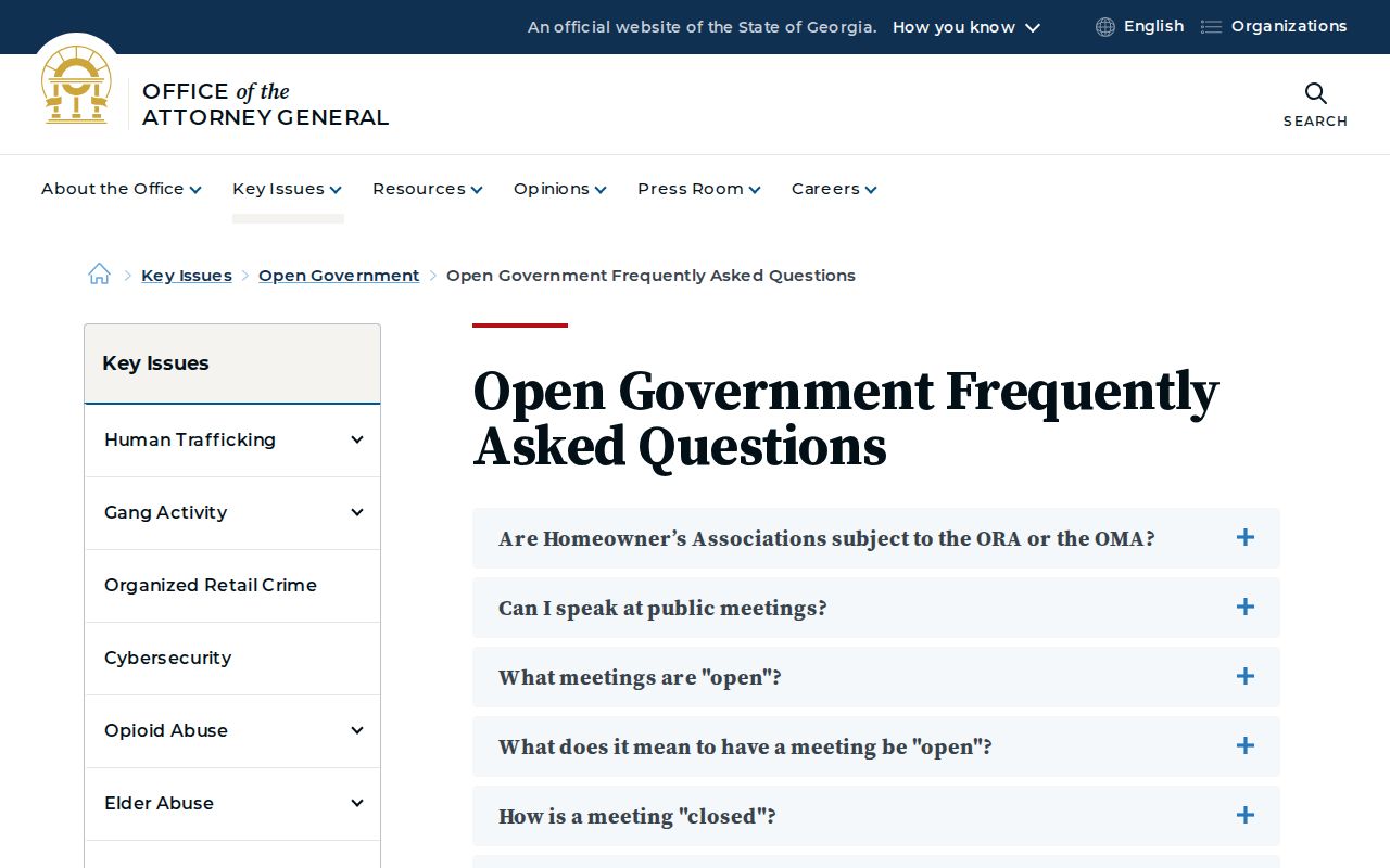
The official FAQ is the fallback when a ZIP search needs an existing county file rather than a public web map.
Fulton ZIPs Versus City Limits
A Fulton County ZIP code is a mail-routing area, not a city line, voting district, neighborhood, or parcel boundary. USPS decides delivery format. Fulton GIS determines whether a site is in the county and which jurisdictions overlap it. The assessor's situs and legal description tie the address to land. Keeping those systems separate prevents a postal city from sending a request to the wrong office.
- ZIP
- A five-digit USPS delivery area that can cross government lines.
- ZIP+4
- Four added digits that narrow delivery to a block, building, firm, or segment.
- PO-box ZIP
- A code assigned chiefly to boxes at a postal facility.
- Unique ZIP
- A code assigned to a high-volume institution or agency.
- Carrier route
- A postal delivery path. It is finer than a ZIP but is not a government boundary.
No official source supplied a complete history of Fulton ZIP realignments. For an old address, compare dated directories, archived maps, USPS validation, and parcel jurisdiction rather than inventing a change year.