
Walk a Fulton Street Address
A Fulton County street directory search works best as a chain, not a one-box lookup. Start with the exact street number, direction, name, type, and unit. Atlanta uses NE, NW, SE, and SW as meaningful parts of an address, and its many Peachtree names make loose text searches risky. USPS can normalize delivery wording, but the county map decides whether the parcel is in Fulton. That check is vital because an Atlanta mailing name may also describe land in DeKalb County or a separate Fulton municipality.
- Verify the delivery form with USPS, then confirm the county and city in Fulton GIS.
- Open the Board of Assessors card. Save the parcel ID, situs address, owner, mailing address, legal description, and deed reference.
- Browse adjoining parcels in the map viewer to build the named street or block one lot at a time.
- Use deed book and page in GSCCCA, then consult a lawful voter list and permit records as separate evidence.
- For an older occupant, turn to the Haines reverse volumes at Central Library Special Collections.
The parcel ID is the strongest join between systems. A street number can change, a postal city can mislead, and a condominium address can cover many units. Copy the identifier exactly. For personal research, keep an access date and record which source supports each claim.
Map Fulton Street Parcels
The Fulton County Property Map Viewer supplies the geographic frame for a by-address search. Search the target, zoom until parcel lines appear, identify the correct polygon, and then click the lots beside it. Layers include tax parcels and address labels, land lots, ZIPs, subdivisions, school zones, census areas, zoning, future land use, and community improvement districts. The map can show adjacency and jurisdiction, but it does not reveal every household member.
| Map control | Input | Street-search use |
|---|---|---|
| Search | Address, parcel, or owner where enabled | Find the starting lot |
| Layers | Checklist | Add parcel, ZIP, subdivision, and district context |
| Identify | Click a polygon | Open parcel attributes and links |
| Zoom and pan | Map controls | Move lot by lot along the street |
| Measure | Map tool | Check distance or area where enabled |
The map is especially helpful in Buckhead, Midtown, and central Atlanta, where parcel assemblage and condominium plans make a plain street string weak evidence. Unit, parcel, legal description, and recorded floor-plan identifiers separate one interest from another.
Fulton Street Names Need Precision
Fulton County stretches across fifteen municipalities and unincorporated land. USPS chooses delivery geography, while city and county layers identify the public office that holds permits or code files. The county GIS ZIP layer even stores one preferred city and two alternate city fields. That design reflects a common Fulton problem: a mailing name does not settle municipal jurisdiction.
Directional suffixes and full street types prevent false joins. In north Fulton, an Alpharetta postal address may belong to Milton or Johns Creek. Around the airport, Atlanta, College Park, East Point, Hapeville, South Fulton, Clayton County, and Fulton County edges can meet within nearby postal areas. Confirm the parcel before contacting a city office.
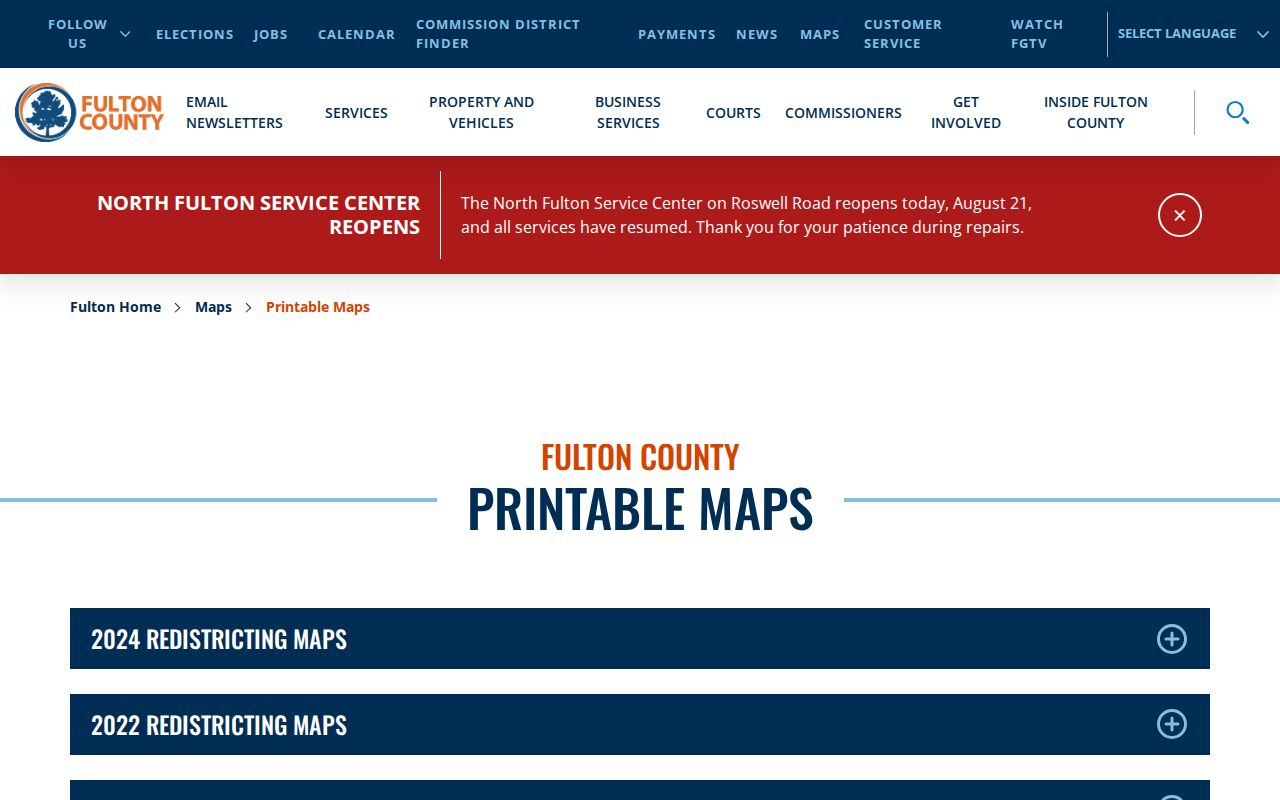
The Fulton printable map collection places ZIPs, commission districts, precincts, and city limits in a broader frame.
Read Fulton Parcel Cards
The Fulton County Board of Assessors Property Search accepts owner name, location address, parcel number, and, where the interface exposes it, legal description. Fewer name characters can catch spelling variants. A parcel-number match is safer than a broad owner or street result.
A typical card contains parcel ID, owner and mailing address, situs address, legal description, neighborhood or land lot, class, acreage, values, sales history, building facts, year built, square footage, and tax district. Sales rows may give a deed book and page. Those citations lead to the recorded instrument; they do not replace it.
- Parcel
- A mapped unit of taxable land identified by the county.
- Situs address
- The assessor's location for the property, distinct from the owner's tax-mail address.
- Plat
- A recorded map showing lots, blocks, boundaries, and easements.
- Criss-cross directory
- A directory arranged by street and house number rather than only by surname.
Fulton Street Directory Sources
Each address-keyed source answers a narrower question. The assessor identifies the taxed owner. GIS establishes the parcel and nearby lots. Deeds show named parties to a transfer, voter files cover registered voters not shielded by law, and permit files date work at an address. None is a complete roster.
| Record Set | Keeper | What It Shows | Access |
|---|---|---|---|
| Assessment card | Board of Assessors | Owner, mailing and situs addresses, building, sales | Free portal or counter |
| GIS parcel map | Fulton County GIS | Lots, address labels, ZIP, subdivision, districts | Free viewer |
| Deed or plat | Superior Court Clerk | Parties, legal parcel, boundaries, prior reference | GSCCCA or records room |
| Voter file | Georgia SOS | Unshielded registered voters by residence fields | Paid electronic file |
| Permit or code file | Relevant city or county | Project address, work, applicant, dates | Portal or records request |
Use exact address and parcel fields to link the set. Compare the result dates. A tax mailing address may be current while an old deed names a prior owner, and a permit applicant may be a contractor rather than a resident. Where an online image is missing, visit or contact the proper counter instead of treating the index as the final record.
Follow Fulton Deeds by Address
The assessor's deed citation points to the GSCCCA Real Estate search. Search book and page when known. Otherwise use grantor, grantee, instrument type, instrument number, and a recording date range. A grantor transfers an interest; a grantee receives it. Retrieve the current purchase deed, note the seller and any prior-deed recital, then search that seller as an earlier grantee.
Compare the legal description at each step. Similar names and nearby parcels are common. Full index and image access can depend on an account or subscription. When the digital trail stops, the Clerk's Deeds and Records Room at 136 Pryor Street and Georgia Archives microfilm are the documented fallbacks. No single official online cutoff was found, so ask staff for the series that covers the needed date.
Note: An indexed deed proves a recorded transaction, not that a grantee now occupies the Fulton situs address.
Lawful Fulton Voter Street Data
Georgia My Voter Page is for individual verification and requires identity details. It is not a street-browse tool. The public bulk voter file is the lawful address-level route. Its residence columns separate street number, direction, name, type, apartment, city, and ZIP, with precinct and district fields that can help distinguish records.
The SOS county file costs $70 under pricing effective July 1, 2024 and arrives electronically, with two weeks stated for processing. The file omits telephone numbers, full birth dates, Social Security numbers, and driver-license numbers. VoteSafe can shield a qualifying voter's residence. Nonvoters and children are absent, and participation fields never disclose candidate choices. Georgia does not register voters by party.
Add Fulton Address Permit History
Permits and code cases can date construction, repairs, inspection events, and an agency's contact with an address. For Atlanta parcels, the municipal permit search can accept record number, project description, record type, date range, street number and name, city or ZIP, parcel number, and sometimes applicant or business name. Other Fulton cities keep their own systems, so jurisdiction must be settled first.
A result may show record type, status, description, address, parcel, dates, contacts, and inspection events. Older paper files may need a department request. Treat this as building history, not proof of every move or household member.
Fulton Streets in Reverse Directories
Central Library Special Collections holds Haines Criss-Cross volumes from 1946 through 2016-2017. These arrange listings by address or street sequence, so they can connect a house number to a listed occupant or business. The shelf also holds Atlanta city books and suburban directories, plus street-name-change information.
Historical volumes belong to the Fulton County city directory collections; use them here only after modern parcel work fixes the location. Compare neighboring numbers when a house disappears between editions. A gap may reflect a move, omission, vacancy, redevelopment, or street renumbering rather than a missing structure.
Verify Fulton Delivery Addresses
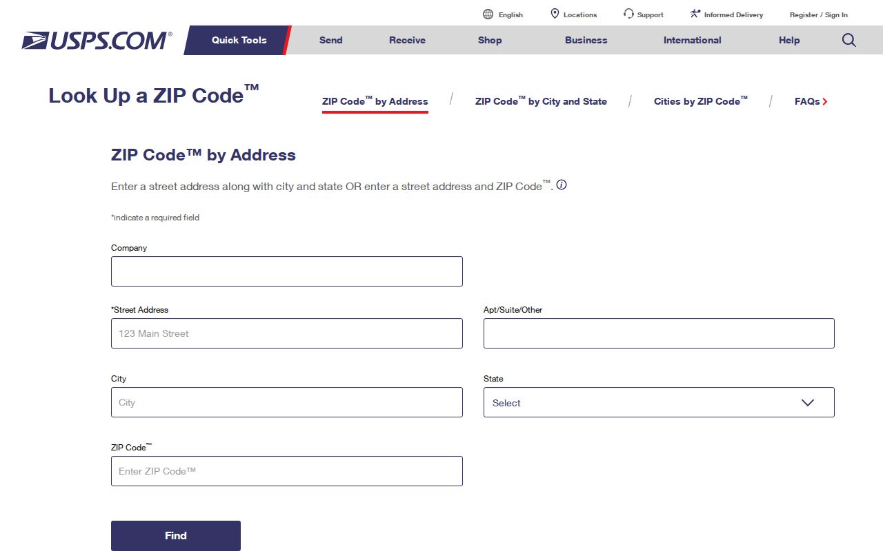
The USPS address lookup confirms delivery format and ZIP. It does not decide parcel ownership or city jurisdiction. Use it before the assessor when spelling, suffix, direction, or ZIP is uncertain, then return to GIS for the boundary check.
Bridge Fulton Street Address Changes
Old Fulton street research can fail even when the family or building never left. Atlanta annexations changed which municipal office held permits and code files. Street names and house numbers also changed as the city grew. Central Library Special Collections expressly documents street-name changes across its directory span, making the research room a key fallback when a modern address produces no older match. Start with the most recent confirmed form, then work backward one directory volume at a time.
Compare the alphabetical listing with the street sequence. If the person remains in the alphabetical section but the address changes, check nearby house numbers in both years. Neighbors that move as a group may signal renumbering rather than relocation. A subdivision plat can connect an older lot and block to the legal description, while land-lot and district terms help with tracts that predate a modern subdivision. The 1899 Atlanta Sanborn set adds 126 sheets with building footprints, materials, uses, and street numbers. Those details can distinguish a renamed structure from a different building on the same corridor.
County history affects the catalog terms too. Fulton was created from DeKalb County in 1853. Milton County and Campbell County merged into Fulton in 1932, so older north Fulton records may be filed under Milton and older south Fulton material under Campbell. Search the jurisdiction that created the record, not only the county name used today. A present-day Atlanta postal address can also sit outside the City of Atlanta or in DeKalb County, so confirm the parcel boundary before requesting a historical municipal file.
For a condominium or assembled downtown parcel, a street number alone is rarely enough. Add the unit, parcel ID, recorded condominium floor plan, and legal description. Then compare deed citations rather than assuming every hit at the building belongs to the same owner or address trail.
Note: Exact parcel IDs and deed book-page citations are more reliable than loose Fulton name or street searches when an address has changed.
Limits of Fulton Street Records
A Fulton County street directory cannot supply a complete, current household roll. Assessor cards name owners, not all occupants. Deeds show transfers, not who stayed between them. Voter data excludes nonvoters, minors, and protected addresses. Directories omit unlisted people and age quickly. Permit contacts may be owners, applicants, or contractors. Utility and motor-vehicle customer data are not public directory substitutes.
Matching situs and mailing addresses, plus a homestead indicator, may support owner occupancy, but it still does not identify everyone at the property. A different mailing address can point to an absentee owner, business, estate, or simple mailing preference. State each conclusion at the level the source supports.
Lawful use. Use Fulton address records only for lawful personal, historical, property, or civic research. Public access never permits stalking, harassment, threats, or intimidation.